Smart Flood Monitoring: Early Drainage Warning for a Taiwan Industrial Park
With several flood hotspots, pumps often go to whoever calls first. LoRaWAN level monitoring gathers key channel readings so pumping and checks follow actual levels.
Project Profile
- Region: Taiwan
- Category: Environment
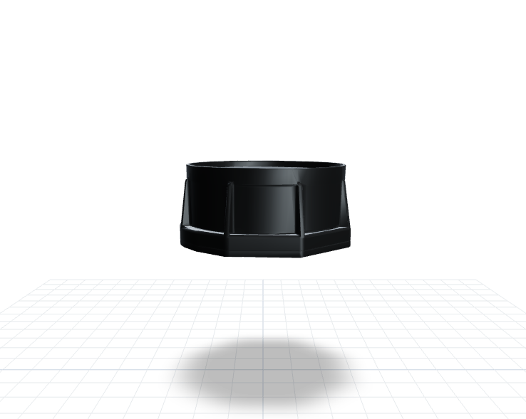
- Products: H01
Operational Value
- Operational objective — Faster flood-risk response (not a measured project outcome)
- 24/7 — Visibility into critical drainage points (Continuous monitoring)
- Operational objective — Fewer overflow-related operational disruptions (not a measured project outcome)
Case Snapshot
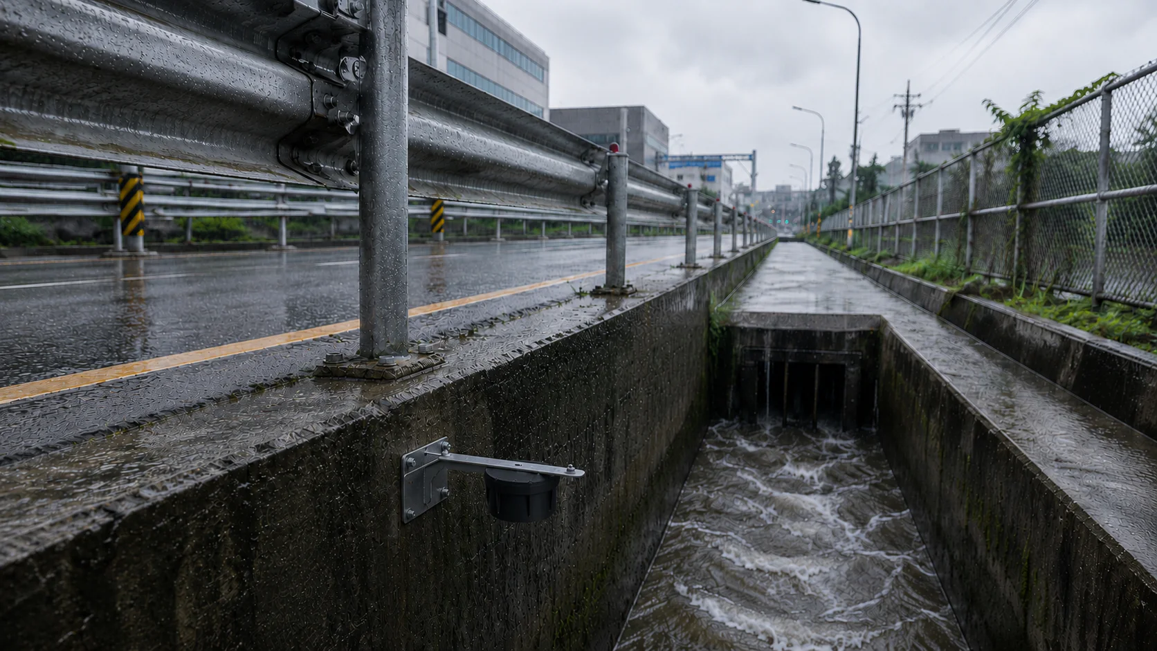
By the time floodwater appears on an access road, the drainage system has usually been under pressure for a while. One industrial park in Taiwan wanted to see the water rising before that point. H01 water-level sensors and LoRaWAN gateways now feed data from key drainage channels and flood-prone spots into a single monitoring platform, so pump dispatch, patrol routing, and road-control priorities can be set before standing water forms.
Problem
Seeing the rise before knowing where to pump
When an industrial park's drainage system is pushed past capacity, the damage rarely stops at one flooded road — vehicle access, equipment areas, stored materials, and worker movement can all be affected. Many sites still depend on manual patrols, phone calls, or after-the-fact reports, so rising water and overflow risk are often only logged once standing water is already visible.
The harder problem is prioritization: a park usually has several drainage hotspots at once, and without data, which one gets the pump first tends to depend on who called it in — not which location is genuinely at greater risk. When response order follows the order of phone calls, production disruption and asset exposure grow along with it.
Solution
Scattered readings, one shared view
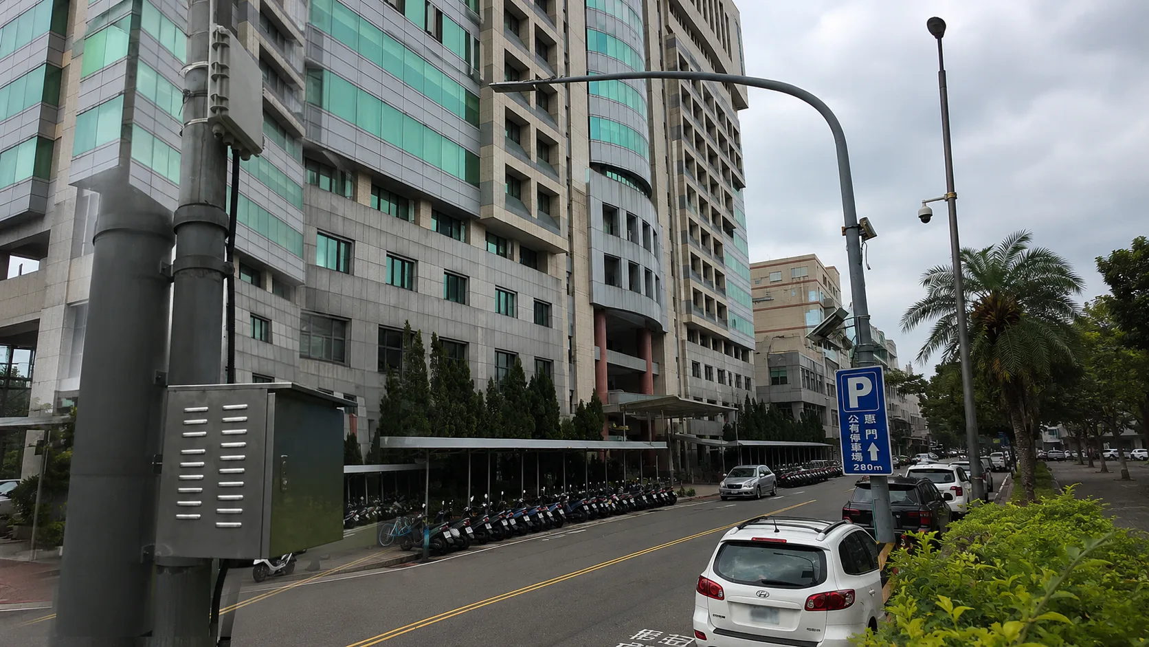
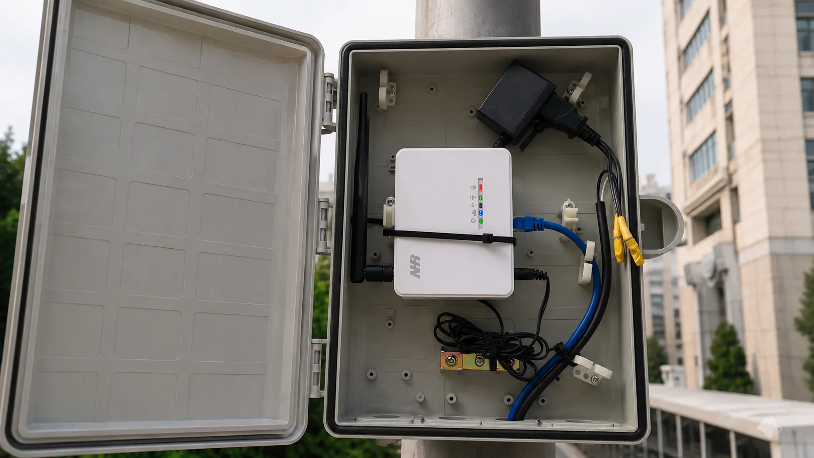
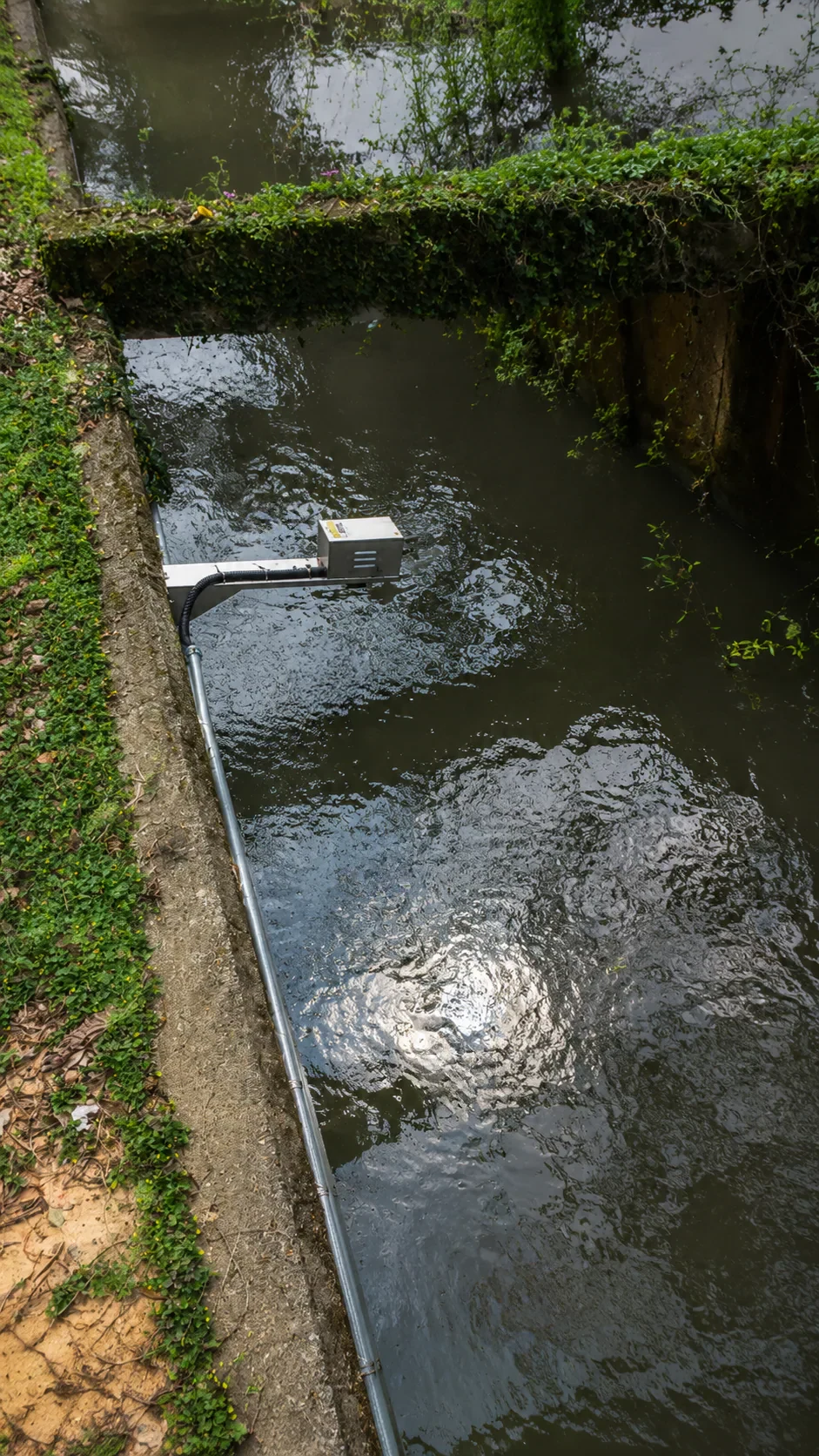
H01 water-level sensors were installed at the park's key drainage channels and flood-prone locations, with readings sent through LoRaWAN gateways to a central platform. Every monitoring point's water level appears on the same screen, letting on-duty staff prioritize response by how sharply a level is rising, how close it is to a critical threshold, or which zone is under the most drainage pressure.
Instead of learning conditions one point at a time through patrols, the platform pulls together what used to sit scattered across the site, so it can be compared, coordinated, and acted on directly. Deciding where a pump truck goes, or which passage to close, no longer requires confirming with each location in turn.
Value
Ahead of the rain instead of behind it
Supervisors now see, on one screen, where drainage pressure is climbing before anyone calls it in — cutting the time it takes to confirm a problem and giving pump-dispatch, site-control, and drainage decisions a more current basis.
The approach extends to other flood-prone points — not just industrial parks, but manufacturing bases, logistics sites, and large public facilities. With water-level data recorded continuously, teams can also revisit high-risk stretches and refine patrol routes, so flood management stops depending on a post-rain walkthrough.
Next Step
Share known flood hot spots and the current pump, road-control, and patrol workflow to identify which water-level points would add the most value to response prioritization.
Explore Solutions / Talk to an Expert
Image Gallery
Notes
- Every site is different; deployment plans and outcomes should be assessed by qualified professionals against actual site conditions.
*Illustrative image