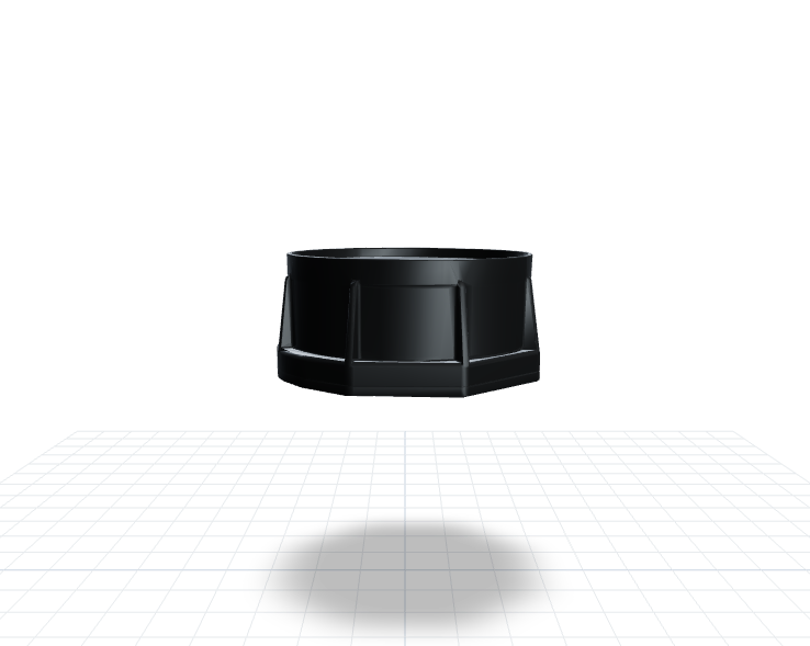
River-Level Monitoring: Flood Early Warning in Malaysia
Remote river stretches relied on relayed patrol reports, and delays cost response time. NB-IoT radar gauges notify teams near thresholds so patrols focus where it counts.
Project Profile
- Region: Malaysia
- Category: Environment
- Products: H01-NW
Operational Value
- 24/7 — Visibility into high-risk river segments (Continuous monitoring)
- Early Warning — Cross-agency alert as water nears warning level (Response window)
- Operational objective — Fewer manual river-segment patrols (not a measured project outcome)
Case Snapshot
When heavy rain and monsoon conditions arrive together, river levels in Malaysia can move from calm to critical within hours. Manual patrols and fixed check-ins struggled to cover scattered, remote riverbanks at once, and cross-agency coordination often lagged before water actually neared the warning threshold. H01-NW radar sensors now relay water levels from each segment to one platform over NB-IoT, pushing notifications to response agencies as levels approach that threshold, not after.
Problem
Remote segments, warnings relayed by hand
Flood-risk management is hard not just because water rises, but because it rises at multiple locations, at different times, with limited staff to cover them. When field crews have to travel to the riverbank on a schedule to confirm conditions, remote segments fall behind simply because of distance, weather, or unreliable communication.
Once information can't be centralized quickly, alerting, field dispatch, and resource allocation all stall behind it. A single river often spans several managing agencies, and by the time each one confirms conditions on its own, the window for an unhurried response has usually closed. What agencies need is monitoring infrastructure stable enough to run continuously and shared enough to support one common alert threshold across units.
Solution
An alert before the level reaches warning
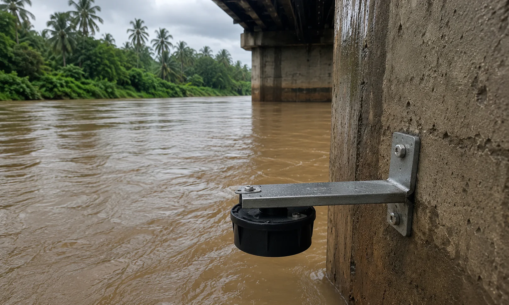
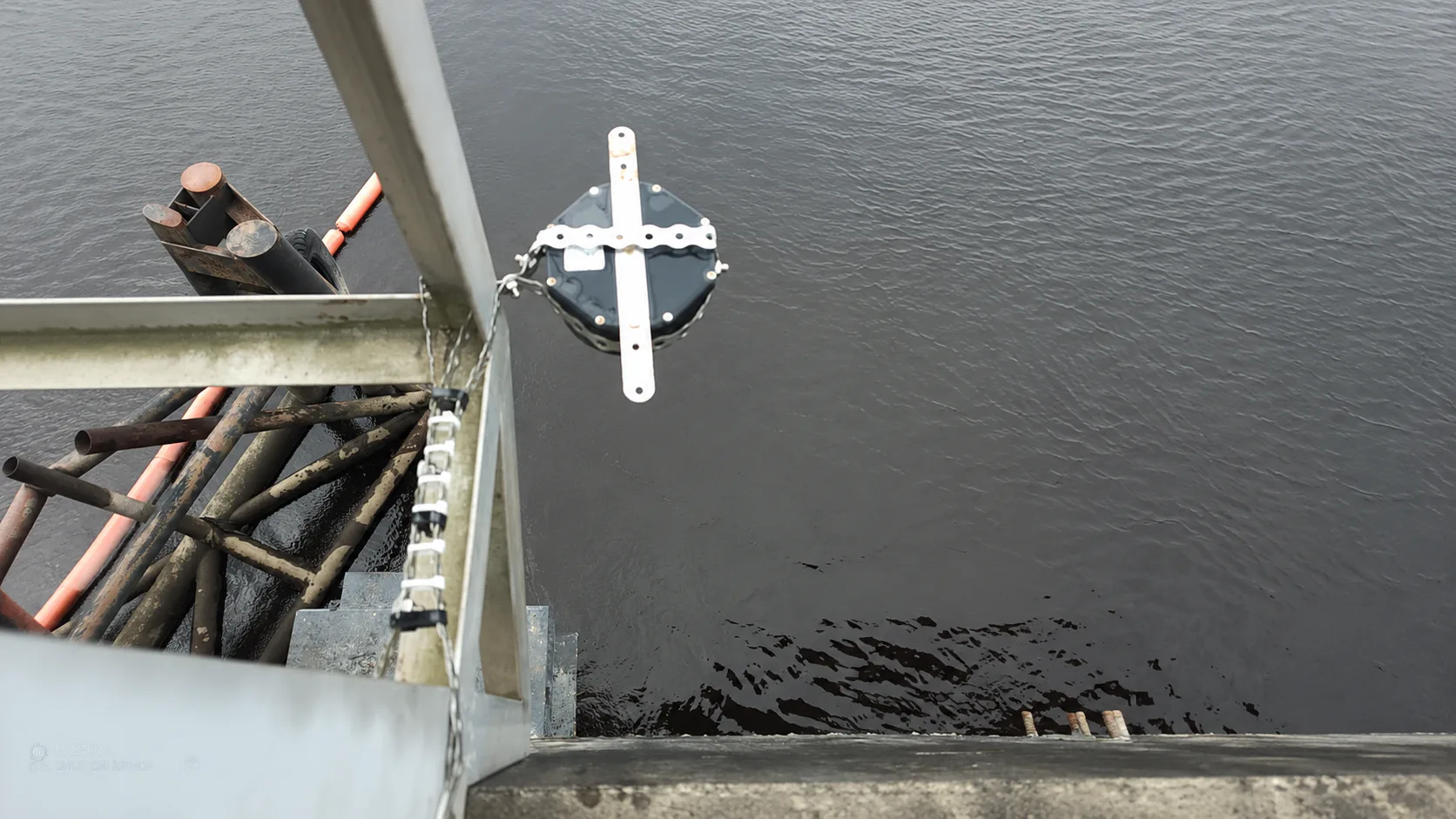
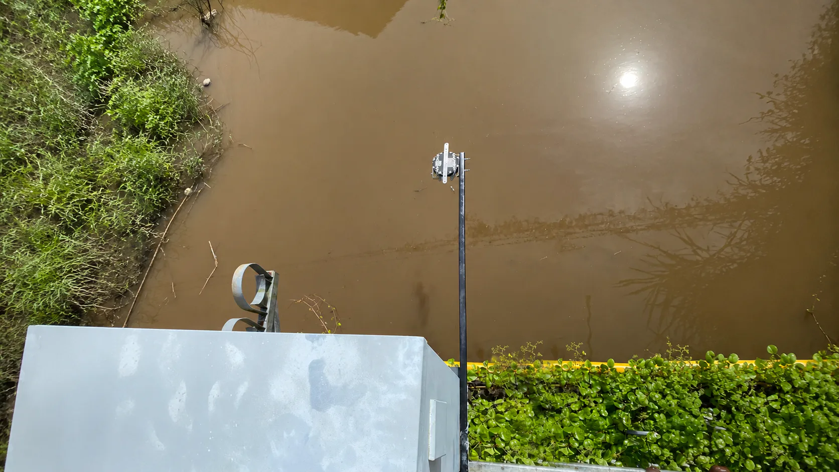
H01-NW radar water-level sensors were installed at strategically chosen riverbank points, measuring water level continuously without touching the surface, with readings sent over NB-IoT to a central platform. Operators can see the trend at every point on one screen, and when a level crosses its preset threshold, an alert goes out automatically, putting attention on the right stretch of river before it reaches the warning line.
The architecture doesn't require a dedicated gateway at every point — most riverbank locations have neither grid power nor a network line, so NB-IoT rides existing telecom towers instead of needing a powered gateway on-site. That keeps deployment simple and lets remote segments join the same monitoring workflow instead of remaining the last to be updated.
Value
Patrol effort, concentrated where it counts
Water-level anomalies no longer wait on a patrol's radio call to be noticed — high-risk segments stay on one screen around the clock, so operators can read the trend and dispatch sooner.
For flood-response teams, that means patrol staff can concentrate on segments that genuinely need attention, with alerting and resource deployment resting on firmer evidence. When a notification reaches every relevant agency the moment a level nears its threshold, cross-agency coordination no longer starts from scratch, and the overall pace of flood response improves.
Next Step
Provide the river map, warning points, and existing telecom coverage to identify which locations can use current NB-IoT infrastructure and which should be prioritized first.
Explore Solutions / Talk to an Expert
Image Gallery
Notes
- Every site is different; deployment plans and outcomes should be assessed by qualified professionals against actual site conditions.