Availability Without Meters: Free Curbside Parking Information in Hong Kong
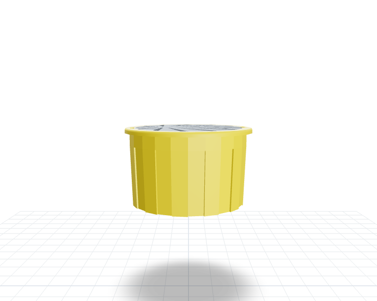
Metered bays went digital, but free curbside bays stayed invisible. Embedded sensors cover general, accessible and large-vehicle bays—no cameras, no plate records.
Project Profile
- Region: Hong Kong
- Category: City
- Products: P02-NW+P02-LW
Operational Value
- ~250 Spaces — Non-metered spaces digitized (Deployment scope)
- 3 Types — Standard, accessible, and larger-vehicle bays in one system (Parking categories)
- Operational objective — Reduced search circulation (not a measured project outcome)
Case Snapshot
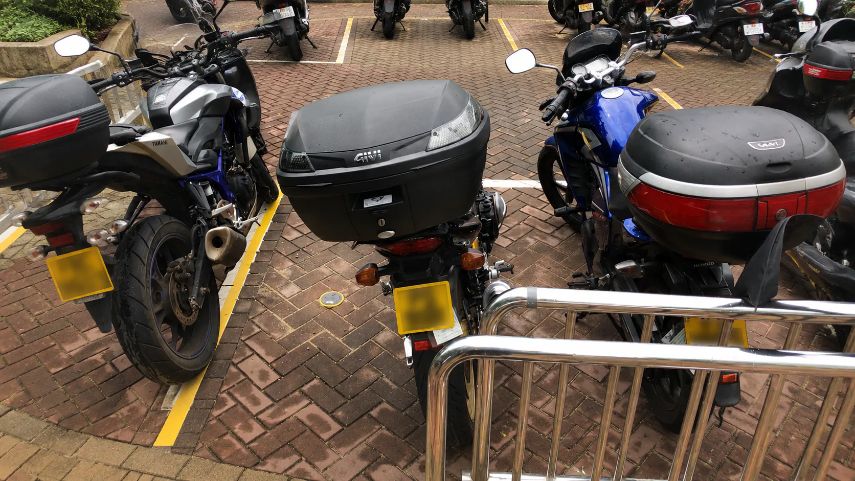
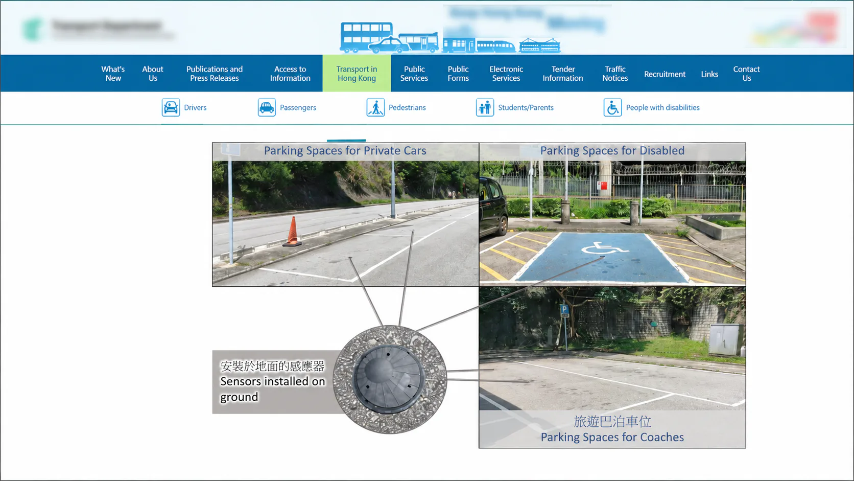
On Hong Kong's curbside parking map, metered spaces had long gone digital, but roughly 250 non-metered spaces remained an information gap. This deployment installed P02-NW and P02-LW sensors at standard, accessible, and larger-vehicle non-metered bays, using radar and geomagnetic sensing rather than cameras or personal data — giving drivers and operators a shared, real-time read on usage across all three types for the first time.
Problem
Metered Bays Went Digital; the Curb Didn't
In high-demand curbside zones, drivers who can't find an open space often end up circling, waiting curbside, or rerouting at the last moment — adding to intersection congestion and making the parking experience less predictable.
For operators, non-metered spaces without real-time occupancy data are hard to evaluate, adjust, or plan around, particularly when a council or the public asks whether resources are allocated fairly and the only answer available is an impression, not a number. What this setting needed was usable space data, captured without collecting personal identity, plates, images, or audio.
Solution
No Plates, No Images, Just Vacant or Not
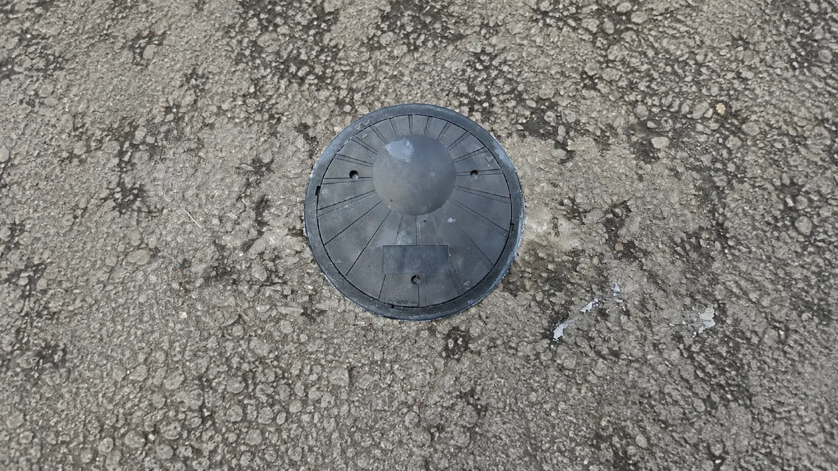
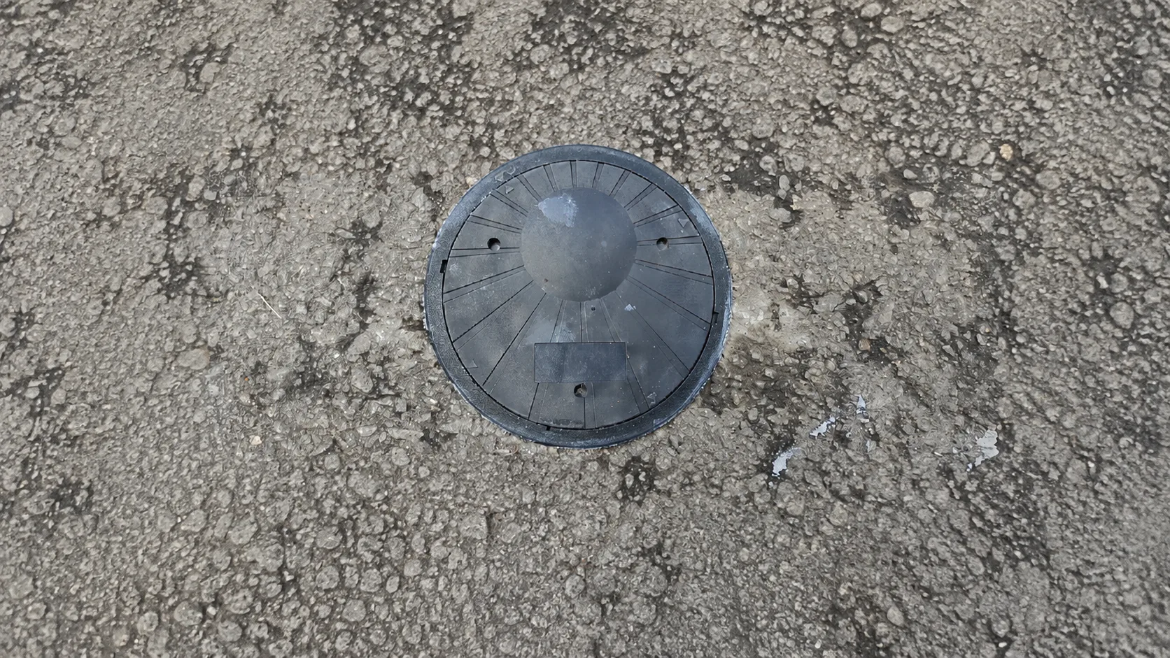
P02-NW and P02-LW parking sensors were installed at designated non-metered curbside spaces, using radar and geomagnetic sensing to detect occupancy and relay vacancy status to connected public digital channels.
Drivers can check real-time availability through existing mobile or web services, on-site displays, and data interfaces, while operators monitor usage by space type — standard cars, accessible parking, and larger vehicles alike. The sensing layer only judges whether a space is free; it doesn't identify people, vehicles, or images, which keeps the deployment straightforward to explain to the public.
Value
Three Parking Types, One Shared View at Last
Standard, accessible, and larger-vehicle bays land on the same real-time list for the first time. Drivers get a clearer vacancy signal before or near arrival, cutting unnecessary searching and circling.
Operators gain a steadier read on usage across space types, supporting service improvement, demand analysis, and future expansion decisions that used to rely on periodic field checks. Scalable, privacy-friendly curbside visibility without cameras or personal identification travels well to other dense cities facing the same gap.
Next Step
For privacy or compliance review, start with exactly what radar and geomagnetic sensing records and what it does not; that makes it easier to judge fit for a non-image parking application.
Explore Solutions / Talk to an Expert
Image Gallery
Notes
- Every site is different; deployment plans and outcomes should be assessed by qualified professionals against actual site conditions.